Featured Products
Featured Sectors
LSS in use
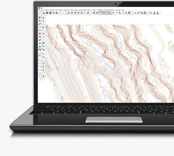
The Industry Leading Digital Terrain Modelling System
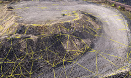
LSS is a complete land survey, terrain modelling, volume, design and visualisation package which is relied upon by many blue chip organisations and is well respected amongst engineering and survey professionals as the system of choice for modelling and design.
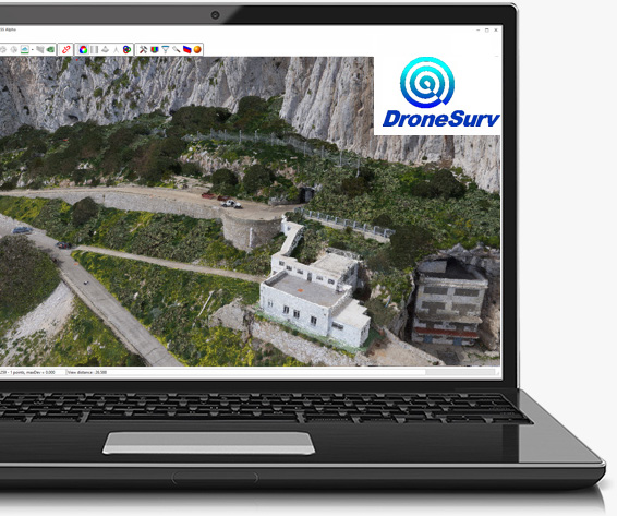
Surveys from Unmanned Aerial Systems (Drones)
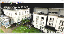
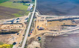
Contactless surveying has now come full circle with the widespread use of drones collecting aerial photographs for the production of 3D surveys. LSS will import a point cloud generated from photogrammetry software in LAS, LAZ or E57 format and generate a DTM with linework. Read how LSS can streamline your process and increase your performance when working with pointclouds.


